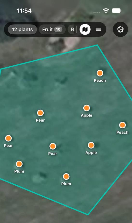
Draw your yard, then pin what's in it.
Search your address and drag the corners of your boundary on a satellite map. To add a plant, drag the map until the pin sits on it and pick from ten categories, from fruit trees to herbs.
Map your property and track plant growth over time.
Download on the App Store
The best time to plant a tree was 20 years ago. The second best time is now. Keep track of both.
Search your address and drag the corners of your boundary on a satellite map. To add a plant, drag the map until the pin sits on it and pick from ten categories, from fruit trees to herbs.
Add photos with the date they were taken and watch the plant change season to season. Log watering, fertilizing, pruning, harvests and inspections with a note, and the whole history stays on the plant's page.
Your location sets your USDA hardiness zone, and the app builds a seasonal schedule from it. See the week's rainfall, get a warning before frost, and add your own reminders, including ones triggered by the weather.
One suggestion at a time, tied to something real: a plant's anniversary, the first frost for your zone, a photo that's due for a follow-up.
Print a tag and hang it on the plant. Scanning it opens that plant in Record Growth.
Turn on its public page and anyone without the app sees the plant's name, type and planting date. The page never shows where it's planted, your notes or your photos, so a shared link won't lead anyone to your yard.
There's no account to create. Plants, photos and history are stored on your iPhone and sync through your own iCloud. Everything works offline except loading fresh satellite imagery.
Read the privacy policySet your location, draw your boundary and add your first plant in a few minutes.
Download on the App Store iPhone · iOS 26.5 or later